Riva di Traiano
Description
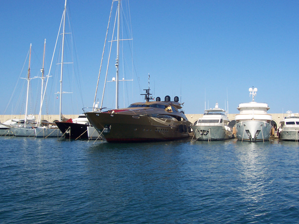
The Riva di Traiano Marina is located in the stretch of sea between Civitavecchia and Santa Marinella, at Km. 67,580 Via Aurelia, 2 M north of Capo Linaro.
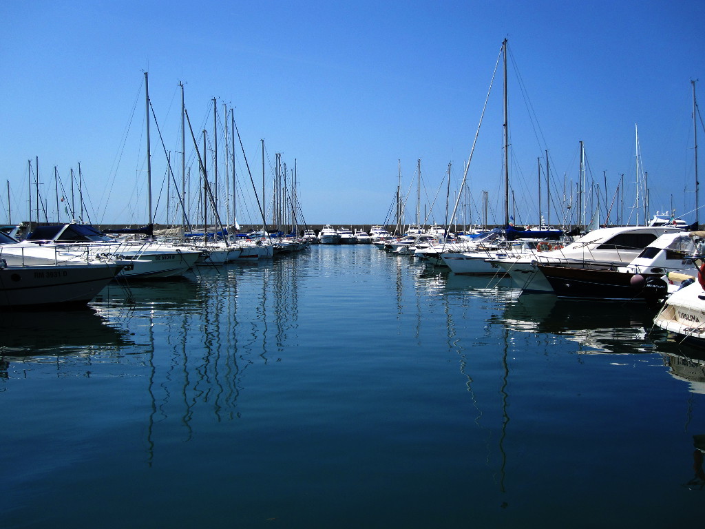
The harbor is protected by a massive breakwater, trending slightly curved, that runs parallel to the coast for a length of about 1 Km. and an Eastern breakwater of approximately 250 m.
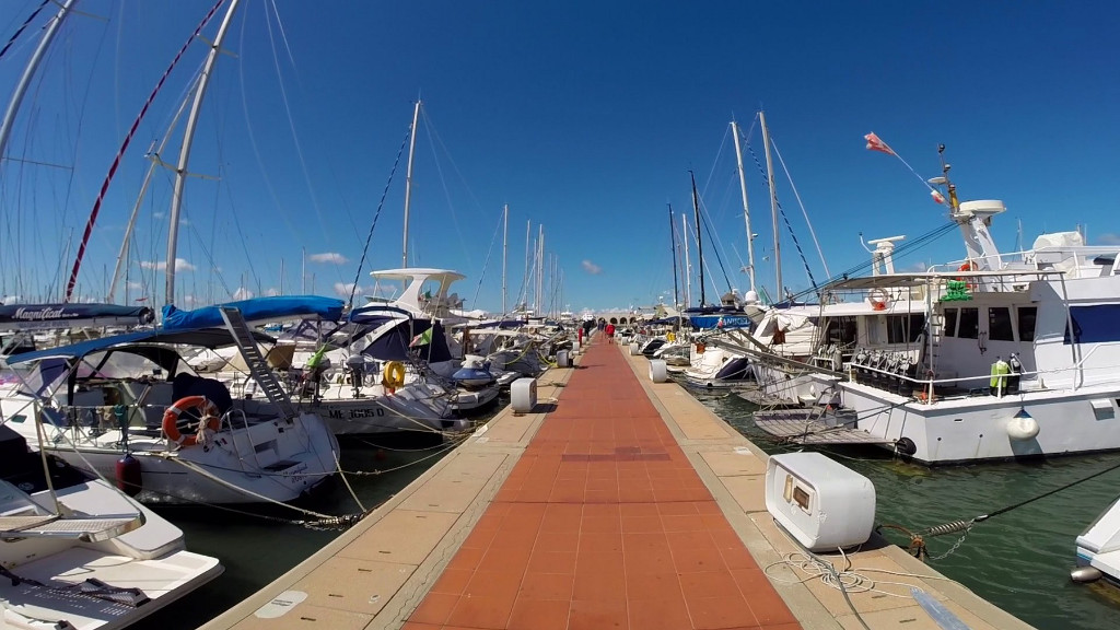
The development of the docks used for mooring ’ is 4,800 m with 12 Piers perpendicular to the quay of Earth.
Opening hours ’ access
Continuous
Headlights and taillights
2215 (And 1518.5) – Green flashing light, period 5 sec., scope 6 M, on the breakwater
2215.4 (And 1518.7) – fixed red flashing MEDA, period 5 sec., scope 5 M 150 m to W n. 2215.2
2215.2 (And 1518.6) – fixed red light, 2 vert. scope 2 M, the head of the jetty.
Backdrops
Maximum draft 4 meters.
Get directions to the control tower for draughts of sailboats.
Prohibitions
It is forbidden to proceed at top speed to 3 nodes.
Prevailing wind
SW – W
Charts and nautical publications
Carte I.I. M. : n° 913, 6, 123
Parsons of the Mediterranean : Vol. 2 p. 151
List of lights : p. 63
Contacts:
Mob. +39 3388343718
e-mail: rome@luise.com